PROJECT PHOTOS
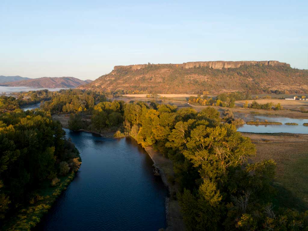
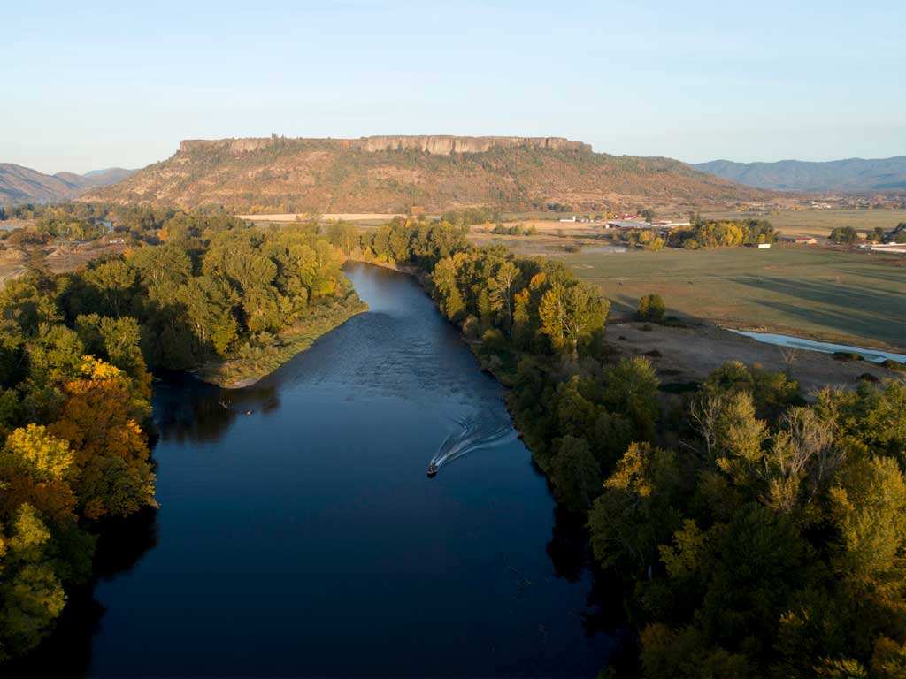

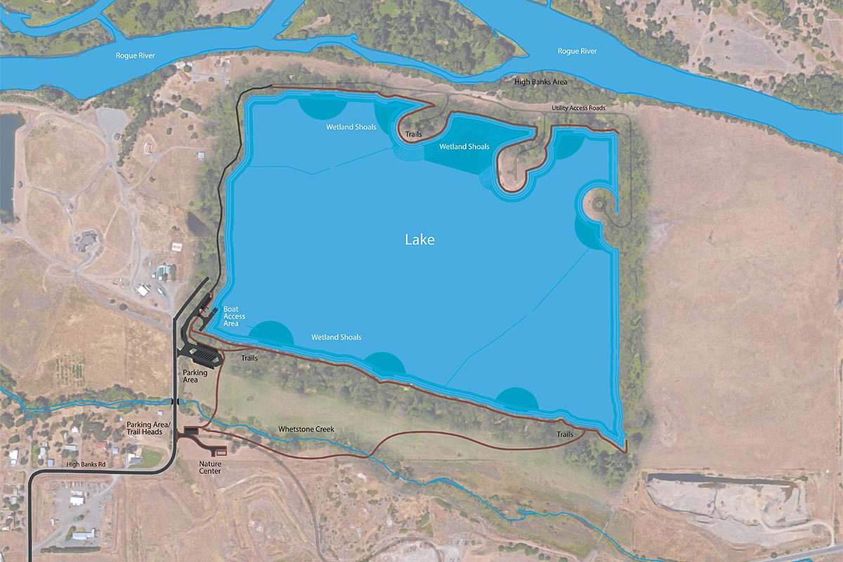
Location and Features
The total potential boundary goes from Table Rock Road to High Banks Road, east to west, and from the Rogue River to Kirtland Road, north to south.
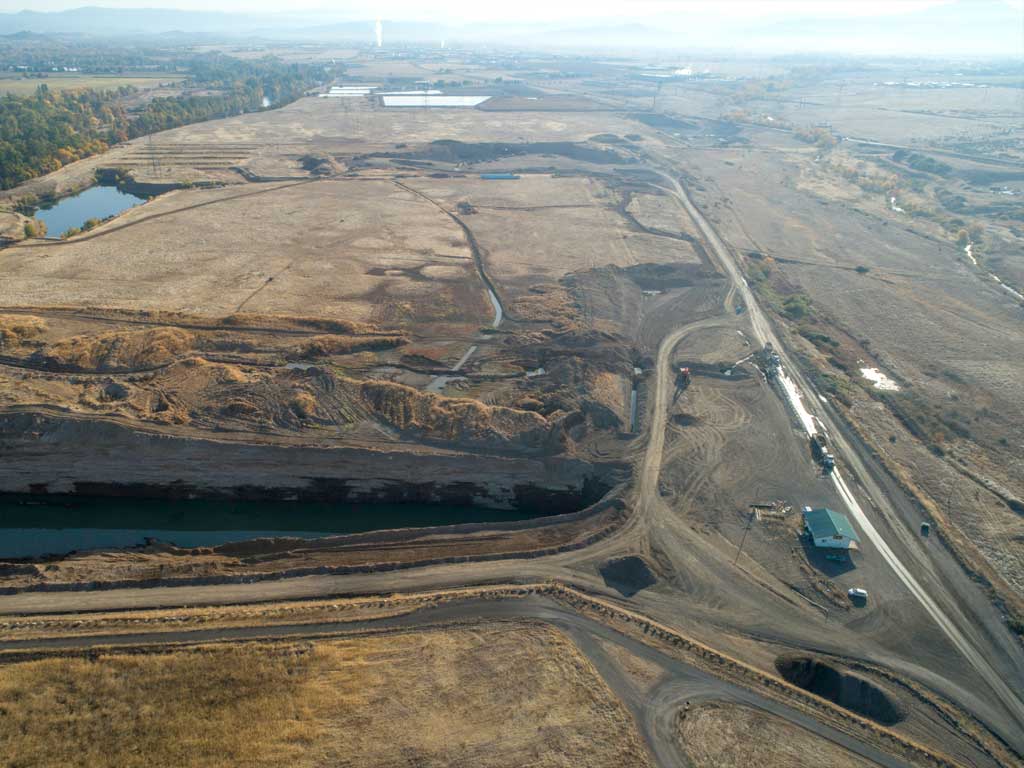
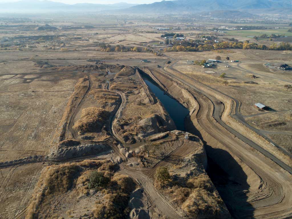
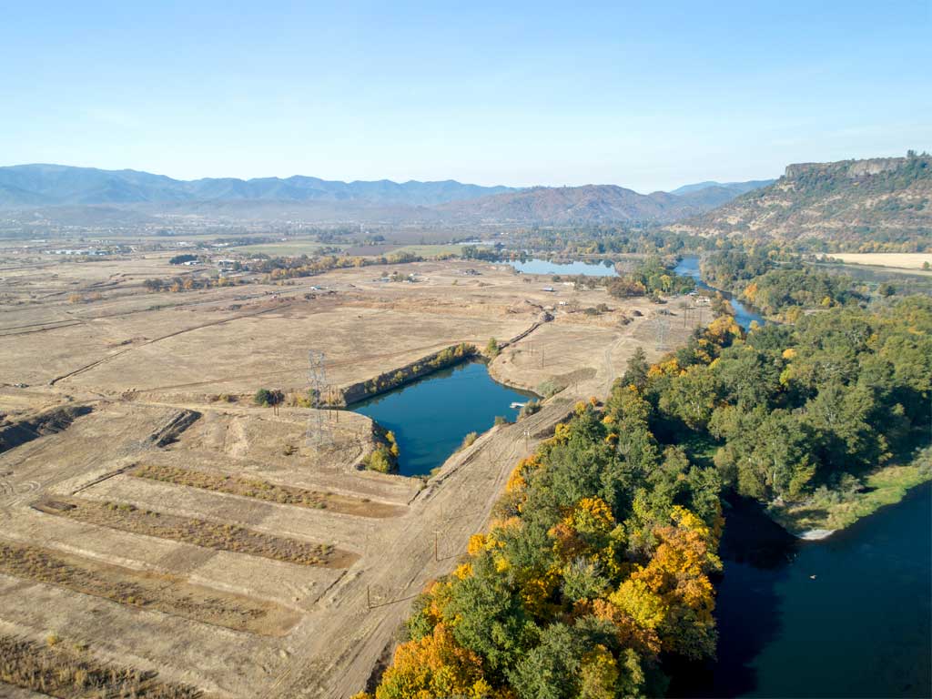
Along with river frontage nearly the length of six football fields, perhaps its biggest draw will be a roughly 125-acre lake engraved into the property’s vast commercial gravel expanse, providing fishing and other water recreation opportunities. Once the aggregate mining is complete, the quarry will fill with groundwater as others in the High Banks Road area have.
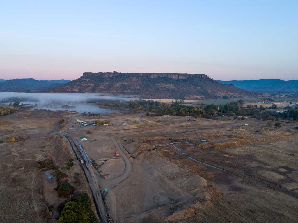
The property is zoned as an aggregate resource in Jackson County and Knife River Corporation (KRC) holds the mineral rights (mining rights) to the property. KRC began mining in late 2015, which is expected to continue over many years. KRC pays a per ton royalty on the rock it extracts, which is deposited into the Bob and Phyllis Mace Watchable Wildlife Fund.
Eventually it will create a lake with a maximum depth of 60 feet ready to be stocked with rainbow trout and other fish species for anglers to appreciate. It will also provide non-motorized boating and wildlife viewing.